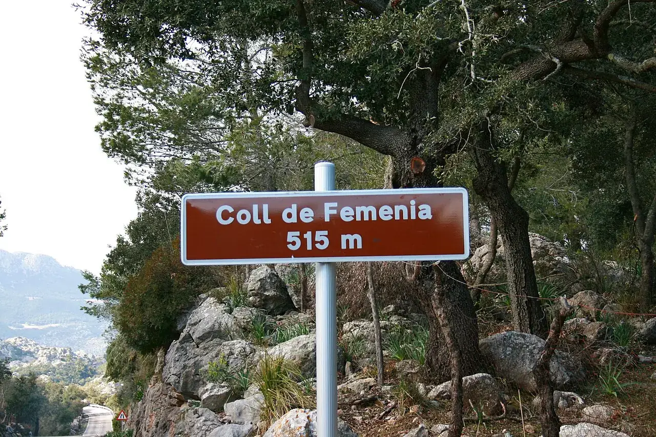
 deepeye · Wikimedia Commons · CC BY-SA 3.0
Sa Calobra
Also called Coll dels Reis · Nus de sa Corbata. Mallorca's most iconic climb. The road descends from the Coll dels Reis down to the cove of Sa Calobra in a series of switchbacks and the famous Nus de sa Corbata.
Riding it today? Sa Calobra today: wind, traffic and road status →
Profile
10 m → 670 mOverview
Mallorca's most iconic climb. The road descends from the Coll dels Reis down to the cove of Sa Calobra in a series of switchbacks and the famous Nus de sa Corbata. Cyclists ride down first, then climb back up — there is no other way out.
Direction. There is no shortcut. From the MA-10 turn at Coll dels Reis and descend 9.4 km to the cove, then turn around and climb back. Allow 45–75 min for the climb.
Before you climb
Start earlyCoach buses begin pouring in from 10:30. The café and water tap at the bottom (Restaurant Es Lago) are the last refuel before the climb. Carry sun protectionThe road is fully exposed.
Refuel near this climb
Within 5 km of the start or the top
On the map
Safety profile
Risk 1–5 from our road-safety review, 5 is highest
The signature ridge road of the Tramuntana is also the corridor riders ask about most. Unlit tunnels, no shoulder, blind hairpins and a steady summer mix of motorcoaches and rental cars. Avoid descending in fading light; use a rear flasher in every tunnel even at midday. No per-road casualty figures are published for it.
26 km out-and-back to the sea with a single narrow lane shared between climbing cyclists, descending cars and the daily tourist-boat coaches up from Port de Sóller. The dead-end character means traffic peaks predictably between 10:00–14:00. Start the climb before 09:00 and exit before noon, or wait until after 17:00.
Rides featuring Sa Calobra
Sa Calobra, reimagined
Our own brandSa Calobra’s mountain curves also inspired a NUS Mallorca cycling jersey. Preview the illustrated design and request first access.
From the team behind this guide. It never affects a ranking here.
Take Sa Calobra home
A 3D-printed desk relief of the climb, made in Mallorca.